Water consumption rights listing in the first section of Mapocho river,
Metropolitan region


Project
With the objective of improving knowledge of groundwater sources of supply and and water management, Aguas Andinas requested a listing of surface water and groundwater rights in the first section of Mapocho river, which includes the river and its tributaries at the mountain range zone of Santiago city, upstream of San Carlos channel.
Methodology
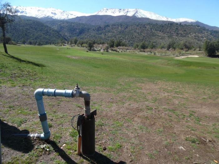
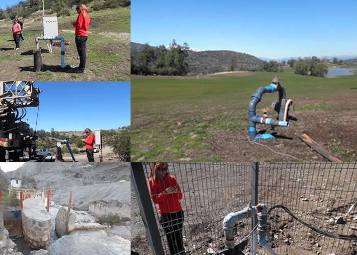
To fulfill the request, gathered data given by Aguas Andinas and DGA was analyzed. Then, field recognition took place filling wells datasheets and a database based on a geographic information system (GIS). It was followed by a report and maps created with all the information collected about water rights and wells.
Results
As a result of this procedures a final report was handed to our client with all the information collected on a GIS platform that allows to take position in each point and visualize immediately the information related to the datasheet and rights around wells.


